Why the Number of Local Governments Shapes the Parks We Build
Stephan Schmidt (Cornell University) and Wenzheng Li (University of British Columbia)
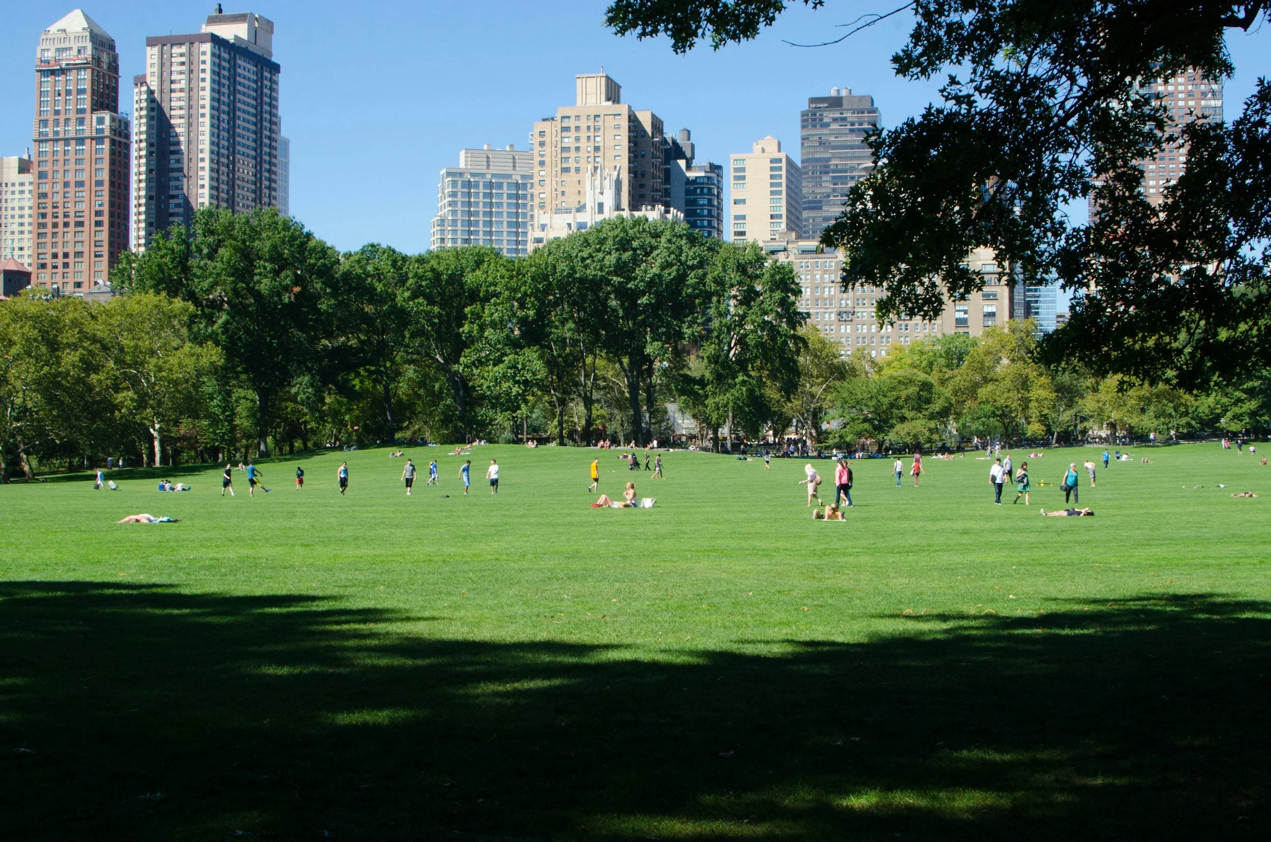
The United States is one of the most politically fragmented countries in the world. Many metropolitan areas are divided among dozens or even hundreds of municipalities, counties, and other local governments, each making its own land-use decisions. While planners have long debated whether this fragmented system is a strength or a weakness, surprisingly little research has examined how it shapes one of our most important public resources: open space.
Our study finds that fragmented governance leaves a distinctive imprint on the urban landscape. Metropolitan areas with more local governments tend to have more neighborhood parks and better local accessibility, but they are also less likely to preserve large parks and regionally significant open spaces. In other words, fragmentation does not simply change how much open space exists—it changes what kind of open space cities produce.
For decades, urban scholars have disagreed about whether metropolitan fragmentation improves or weakens local government. One perspective, rooted in public choice theory, argues that competition among municipalities produces better public services. Because households can choose where to live, local governments compete to provide attractive amenities that residents value. Parks, playgrounds, and neighborhood green spaces are exactly the kinds of visible public investments that can improve quality of life and make communities more desirable places to live.
A competing perspective emphasizes the importance of regional coordination. Many public goods including transportation systems, watersheds, climate resilience, and regional park systems, extend beyond municipal boundaries. When responsibilities are divided among many independent governments, coordinating these larger investments becomes much more difficult. Each municipality has incentives to prioritize its own residents, while the benefits of large regional projects often spill across jurisdictional boundaries.
Both theories are compelling, but until now there has been little national evidence showing how these competing forces shape metropolitan park systems. Using the Trust for Public Land's ParkServe database, we examined more than 117,000 parks and open spaces across nearly 300 U.S. metropolitan areas.
One observation immediately stood out. Nearly 80% of parks are smaller than 20 acres, yet together they account for less than 7% of total park acreage. Meanwhile, parks larger than 500 acres make up only about 1% of all parks but contain roughly two-thirds of all open-space land. This imbalance suggests that treating all parks as equivalent masks important differences. Small neighborhood parks and large regional landscapes serve different purposes, are funded differently, and require different institutional arrangements to create and maintain.
Instead of asking simply whether fragmentation affects the amount of open space, we asked whether it affects the size and spatial organization of metropolitan park systems. The results reveal a remarkably consistent pattern. More fragmented metropolitan areas have more small and medium-sized neighborhood parks; A larger share of residents living within a 10-minute walk of a park; and Fewer large locally managed open spaces. The relationship changes at roughly 10 acres. Below that threshold, fragmentation is associated with more park provision. Above it, the relationship reverses.
Public choice theory appears to describe neighborhood-scale parks quite well. Competition among municipalities encourages investments in visible amenities that directly benefit local residents and can increase neighborhood attractiveness. At the same time, the evidence lends support to metropolitan governance and regionalist critiques of public choice theory. Fragmented systems may be effective at supplying club-like, localized amenities but less capable of delivering metropolitan-scale environmental goods. Acquiring hundreds of acres for a regional park, protecting ecological corridors, or preserving connected landscapes requires cooperation among many jurisdictions, long-term financing, and institutions capable of coordinating decisions across an entire metropolitan region.
These findings arrive at an important moment. Cities across North America are simultaneously trying to address climate change, biodiversity loss, extreme heat, and housing shortages. Parks are increasingly expected to do much more than provide recreation. They absorb stormwater, reduce urban heat islands, preserve habitat, improve public health, and make cities more resilient to climate change.
Many of these benefits depend not on small neighborhood parks alone but on connected systems of larger landscapes. The challenge is that no single municipality can easily create or protect these regional assets by itself. As metropolitan areas continue to grow, the institutional question becomes increasingly important: Who is responsible for preserving the large landscapes that benefit everyone?
One important lesson from our study is that this is not an argument that metropolitan consolidation is always preferable. Neighborhood parks matter enormously. They improve everyday quality of life, encourage walking, provide places for children to play, and ensure that residents have nearby access to green space. we found that residents of more fragmented metropolitan areas generally enjoy better proximity to parks. Fragmented governance appears quite good at producing these local amenities. But metropolitan regions also need larger parks that provide ecological services, recreation opportunities, and climate resilience at regional scales.
The two types of open space serve different purposes, and our research suggests that different governance structures are better at producing each. The landscapes we experience every day are not simply products of natural geography or planning decisions. They are also products of the institutions we create to govern our metropolitan regions.
Stephan Schmidt is an associate professor in the Department of City and Regional Planning at Cornell University. His research interests include regional land use patterns and urban spatial structure. His most recent work examines the relationship between the spatial patterns and sustainable outcomes in African cities.
Wenzheng Li is a Postdoctoral Research Fellow in the Department of Community and Regional Planning at the University of British Columbia. His research interests cover land-use planning and regional governance, urban spatial structure, and sustainable development. His most recent work explores housing approval processes in North American cities using large language models.